
25 stories
-
How Geographic Information Systems Connect Data to Places
-
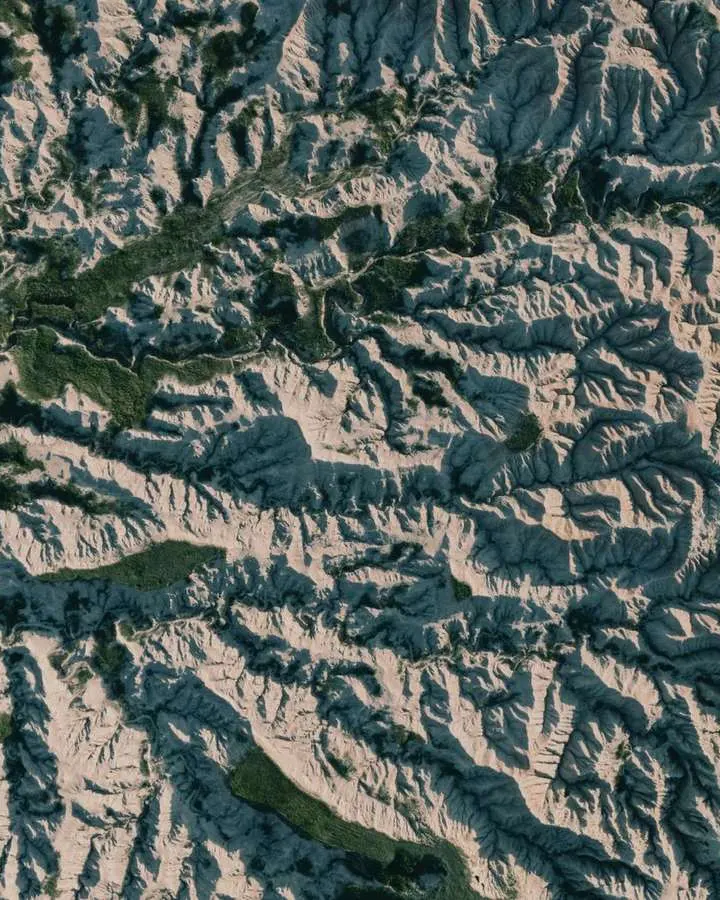
Working with Slope, Aspect, Hillshade and Viewsheds
-

Comparing Web Mapping Libraries for Interactive Projects
-
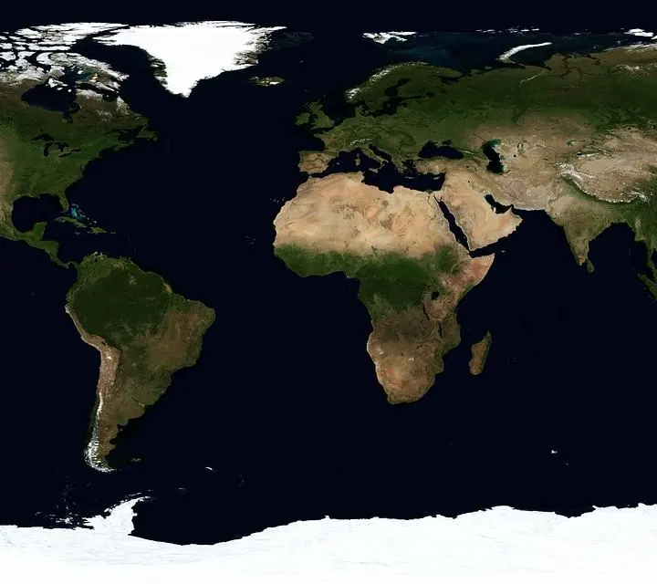
Choosing a Map Type for Counts, Rates, Patterns and Movement
-
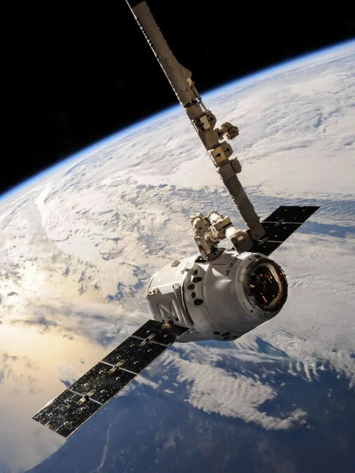
Satellite Imagery Explained: Sensors, Data and Practical Uses
-
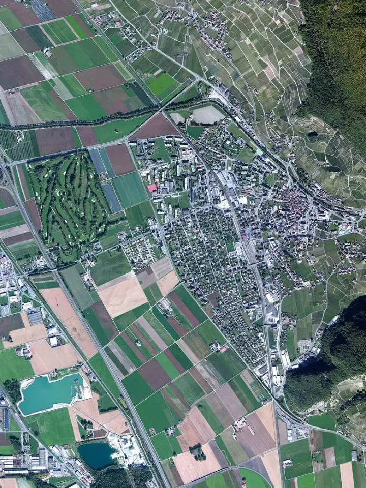
Sentinel and Landsat: Which Imagery Fits Your Analysis?
-
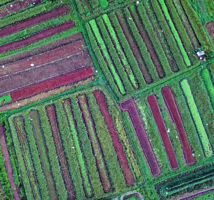
Reading True-Color and False-Color Satellite Composites
-
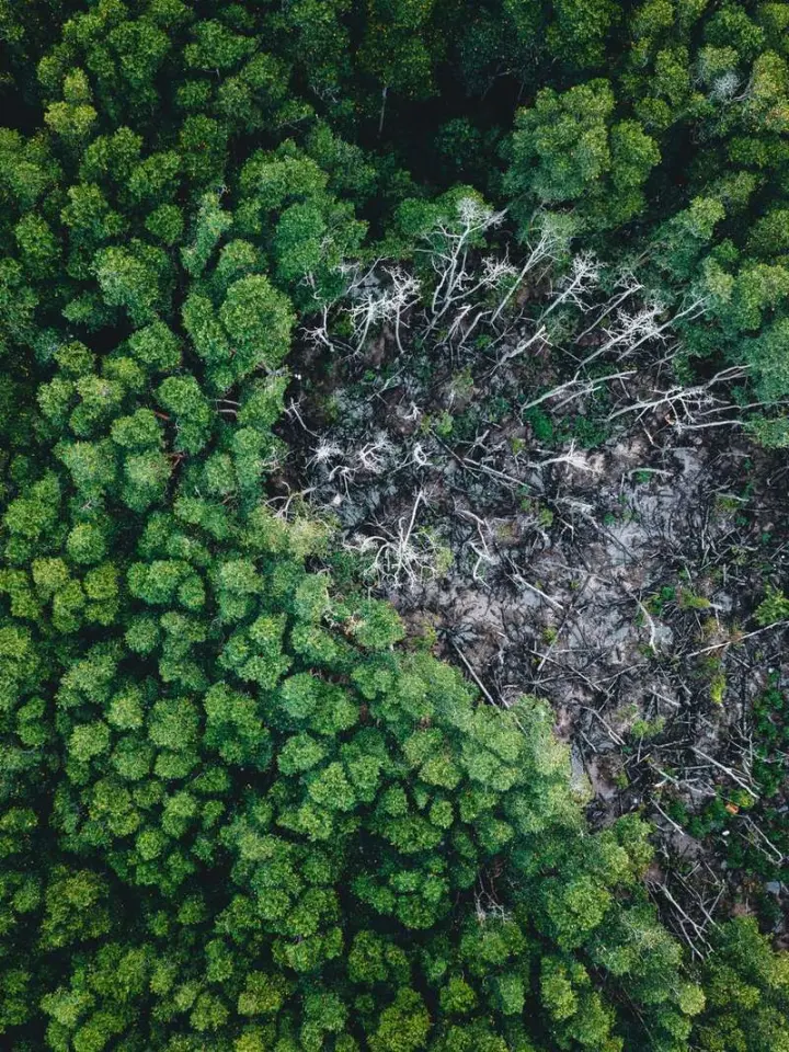
Comparing Satellite Images to Measure Changes Over Time
-
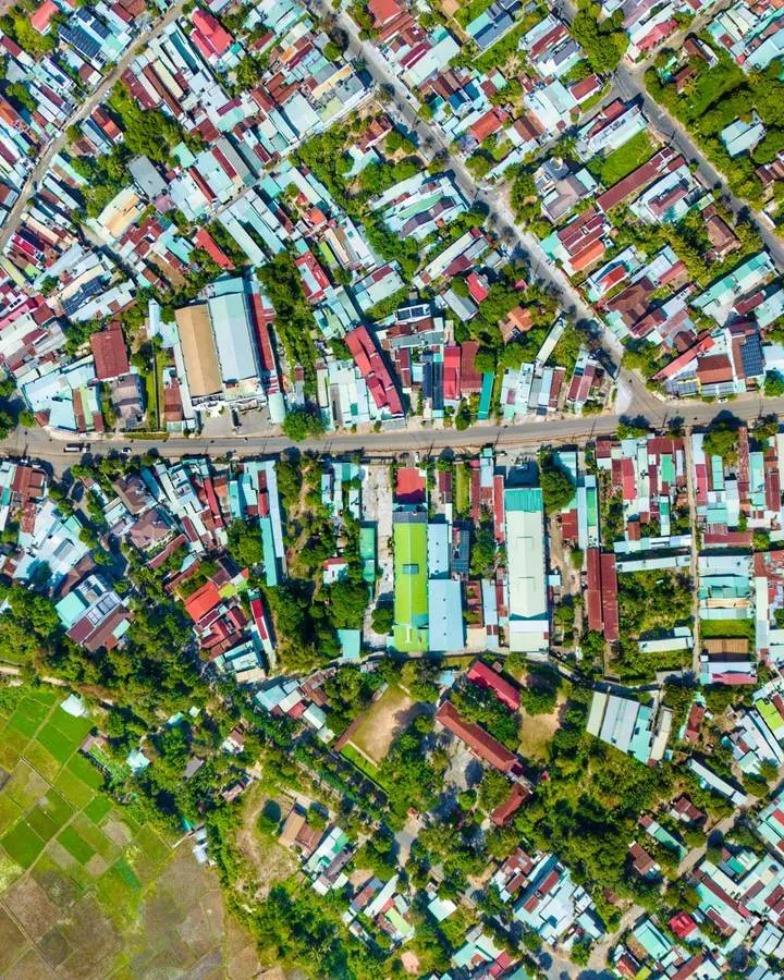
Raster and Vector Data: Choosing the Right Spatial Model
-
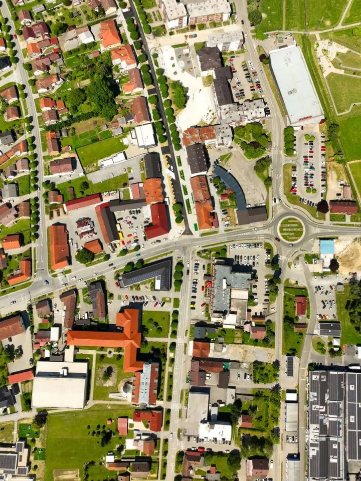
Understanding Spatial, Spectral, Temporal and Radiometric Resolution